Stage Stop
on an Alpine Crossing
A Mountain Stopover at 1,500 Metres
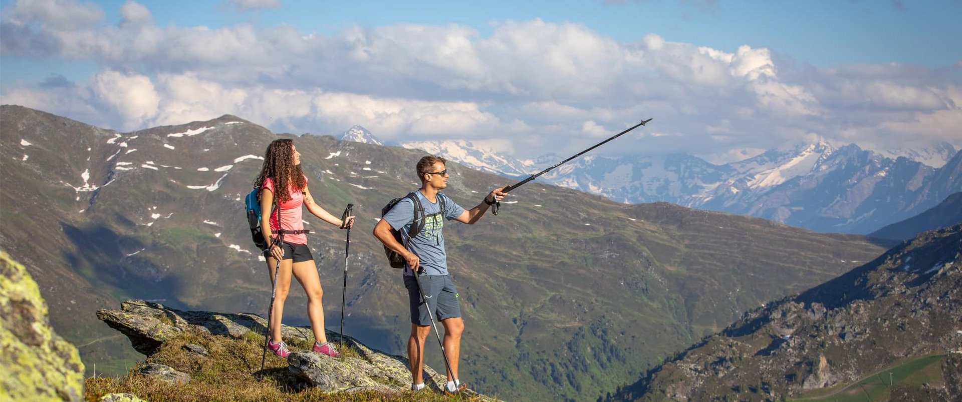
Hochfügen is part of several long-distance routes across the Alps and serves as a stage stop for multi-day Alpine crossings. Situated at around 1,500 metres above sea level, this high-altitude alpine valley provides a peaceful transition between individual stages. Trails lead through diverse landscapes, from alpine meadows to higher mountain terrain, connecting regions such as Tegernsee, Achensee and the Zillertal with South Tyrol.
As an overnight stop, Hochfügen offers a quiet setting away from heavily frequented destinations. Accommodation providers and local businesses offer opportunities to stay overnight and prepare for the next stage of the journey. The compact layout of the village makes orientation easy and has established Hochfügen as a popular stop along Alpine crossing routes.
Stage 4: Fügen – Hochfügen
The route leads from Fügen via the Spieljoch and continues to the Loassattel before descending to Hochfügen.
Distance: approx. 15 km
Elevation gain/loss: ↑ 350 m / ↓ 740 m
Walking time: approx. 4.5 hours
A varied stage with scenic views and moderate elevation gain, ending in Hochfügen, a peaceful stopover in the heart of the mountains.
Stage 5: Hochfügen – Mayrhofen
From Hochfügen, the route leads via the Sidanjoch and the Rastkogel Hut to Melchboden on the Zillertal High Road. From there, the journey continues down into the valley.
Distance: approx. 11 km
Elevation gain/loss: ↑ 840 m / ↓ 300 m
Walking time: approx. 4 hours 45 minutes
An alpine stage characterized by longer ascents and expansive mountain views.