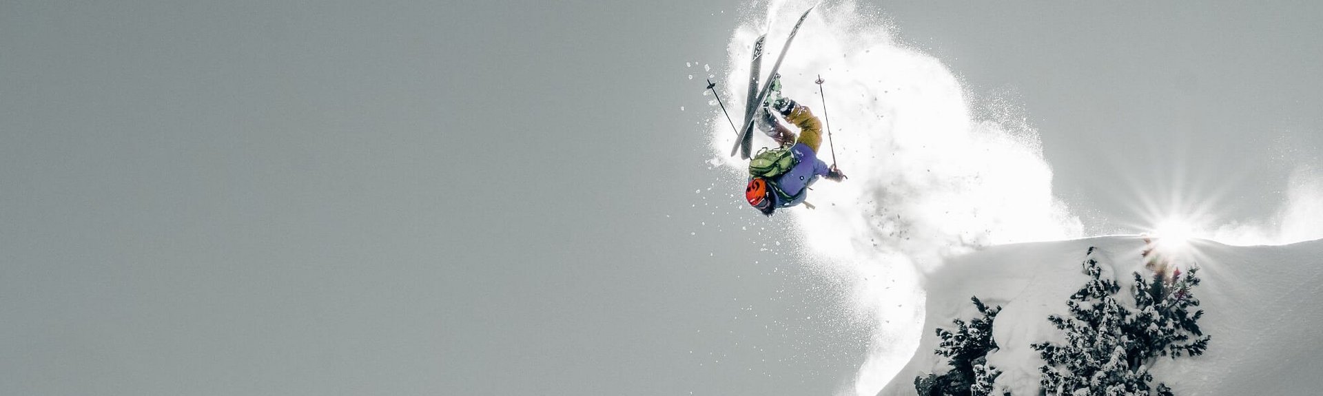
Freeride
Map
The Freeride Map of the Zillertal will help you find your way.
To estimate the terrain there is the Snowhow Map. It allows you to avoid terrain by slope coding, contains information on dangerous terrain (danger of falling) and infrastructure services such as avalanche beacon checkpoints, WLAN hotspots, avalanche beacon training search field and the freeride checkpoints at the entrances to the open terrain. You can also get information about tracks of other freeriders. The Check-It and Map-Legend buttons provide detailed explanations.
In addition, there is the I SKI X app (Google Play Store) with important information about Hochfügen, the best freeride runs, what to do in an emergency and safety features.
HERE YOU CAN FIND THE SNOWHOW-MAP
CLICK HERE FOR THE LATEST AVALANCHE REPORT
Everything you need and know for freeriding can also be found at the Freeride Info Point Hochfügen.
Freeride beginner
area
In the area of the 6er-Holzalmlift (height top station 2.160m) you will find best terrain for beginners in theFreeridesport. Pleasant slopes under 30° next to the ski slope 2 in the direction of travel on the left, you can fully concentrate on skiing off-piste. Terrain and orientation is easy. A return to one of the surrounding slopes is possible at any time. Small, somewhat steeper slopes are easy to see and can be skied around without any problems.
- Slope gradient mainly below 30
- Small slopes up to 35° can be avoided without any problems.
- Height difference: 300Hm
- Exposure: West
- Suitable for beginners
Cold
Kuchl
This run offers ideal terrain for the start of the freeride day to check out the snow conditions. The entry is at an altitude of approx. 1,960m, where the ski route 10a branches off from ski slope 10. You ski over gentle ridges and hollows always between the ski slope and the ski route. The freeride descent can be left at any time. When you reach the lower end at approx. 1,750m, you continue to follow the ski slope to the valley stations of the lifts.
- Slope gradients mainly below 30
- Short sections up to 35°can be skied around without any problems.
- Difference in altitude: 250Hm
- Exposure: northwest
- Pleasant descent for the start of the freeride day.
- Attention :Do not continue on the ski slope to Lamarkbaches!
Front
Pfunds
Being off-piste takes on a new meaning when freeriding in the Vorderen Pfunds area. You not only leave the slopes, but also descend into another valley. Scenically magnificent, a steady, steep and long area opens up for freeriders. The entry point is at 2,000m in the area of the top station of the Pfaffenbühel II drag lift. From here you follow the flat ground to the northeast. The terrain becomes visibly steeper and the entire descent to the Pfundsalm Niederleger (1,620m) opens up. The upper steeper part offers slopes up to 40°. Good orientation and overview is absolutely necessary to be able to avoid dangerous spots such as rocks. In the area of the Pfundsalm Niederleger you reach the toboggan run. Via this easy and in a few minutes to the valley station of the 8er-Jet and Zillertal Shuttle.
- Slopes up to over 40
- Mostly up to 35
- Difference in altitude: approx. 400Hm
- Exposure: northeast
- Challenging lines for advanced freeriders.
- Good orientation necessary.
- Attention ! partly rocky terrain with danger of falling.
March
Head
Freeriding in the Marchkopf area offers both easy lines and real challenges in terms of orientation. The entire terrain is vast, large and grandiose. The entry is from the top station of the Zillertal Shuttle at an altitude of 2,360m. To get to know this freeride area, a line in the vicinity of the black ski slope 4 is ideal. At the latest at altitude 1,800m, a traverse back to this slope is recommended. More challenging lines result from traversing from the top station of the Zillertal Shuttle to the south below the Marchkopf. Attention should be paid here to the avalanche catchment area of the summit structure from the Marchkopf. The freeride terrain from here down towards Finsingbach offers beautiful and consistent deep snow slopes. Occasionally there are steep slopes and rocks. Careful skiing and a good overview are absolutely necessary in order to avoid these danger spots. A traverse back to ski slope 4 or ski slope 3 from an altitude of 1,600m is absolutely recommended. There are only two possibilities over the Finsingbach. Either over a small and hard to find bridge in the wooded area or over the larger bridge directly below the Viertelalmen. Otherwise, the creek cannot be crossed. If you don't hit the bridge with pinpoint accuracy, it can't be found without local knowledge. Returning up to the ski slopes is impossible in deep snow.
- Slopes up to 40
- Numerous flatter lines possible below 35°.
- Altitude difference: up to 750Hm
- Exposure: northwest
- Great lines for beginners as well as for advanced freeriders.
- Attention :Be sure to cross back to the ski slopes 3 and 4.